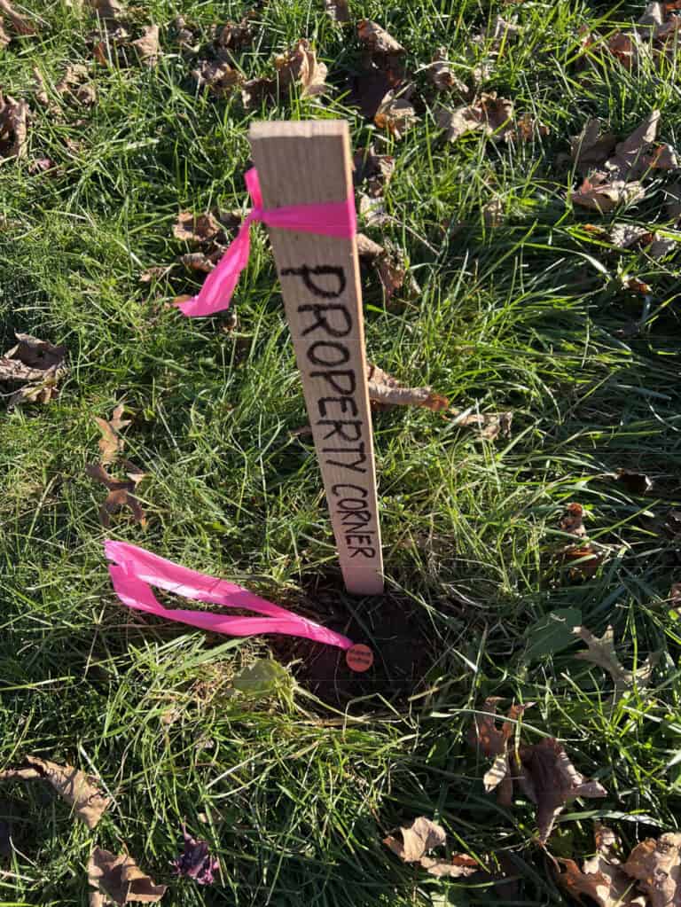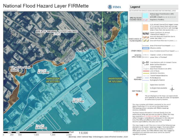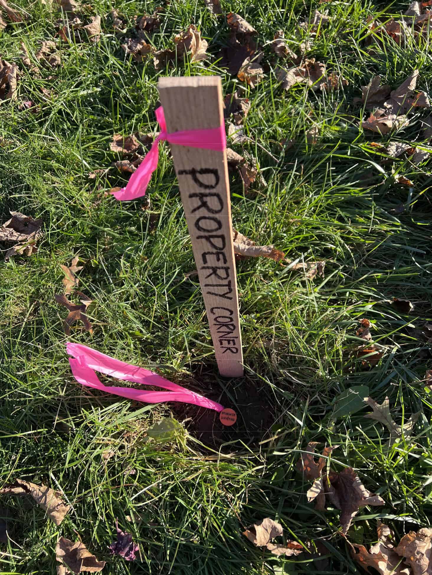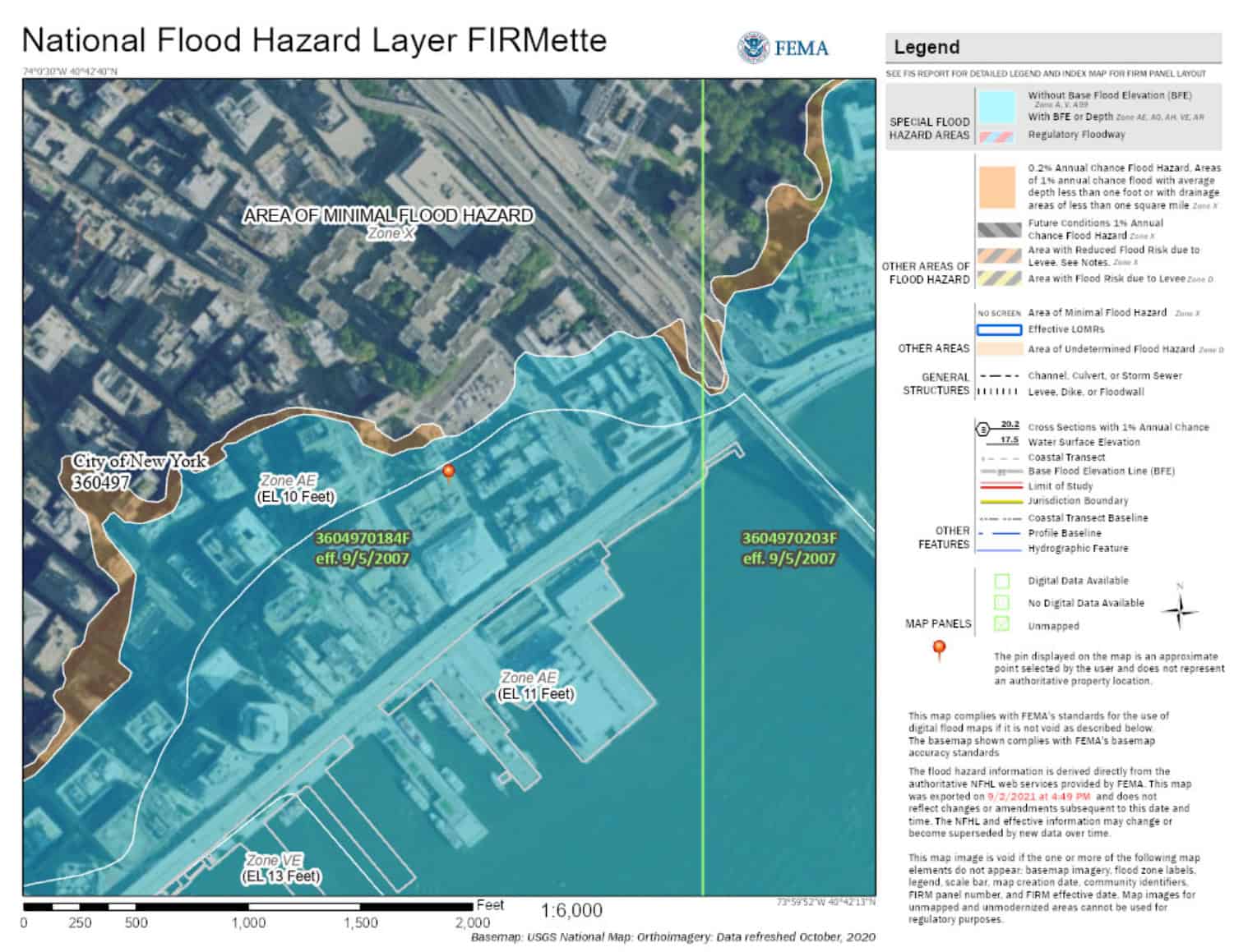

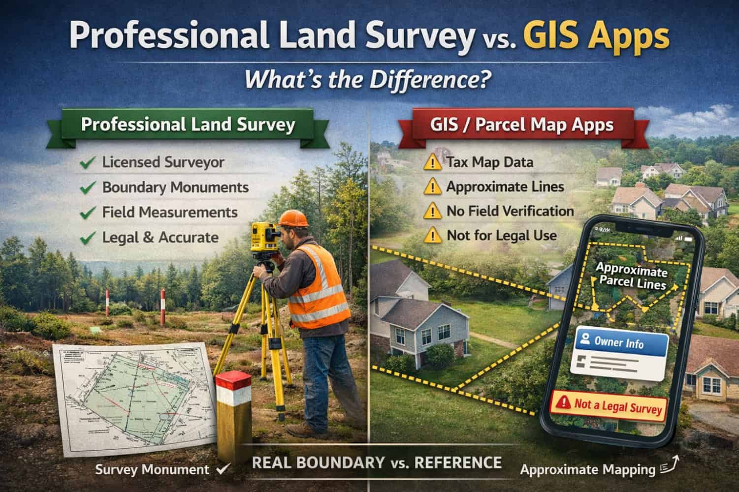
Apps like LandGlide and onX are incredibly handy for getting a quick, high-level picture of a property—especially when you’re walking a site or doing early planning. In most cases, these tools are built using tax map / assessor parcel data (and other compiled mapping sources). That’s useful for reference, but it’s not a land survey and it’s not intended to be used to determine legal property boundaries.
What a Professional Land Survey Is
A professional land survey is performed under the responsible charge of a licensed surveyor and is meant for decisions that matter—buying, building, permitting, financing, and resolving conflicts. A survey typically includes:
- Records research (deeds, plats, easements, right-of-way maps, prior surveys)
- Field measurements and recovery of boundary evidence/monuments
- Boundary analysis (reconciling record information with what exists on the ground)
- A sealed deliverable (survey map/plat) with professional accountability
In short: a survey is where measurement meets property law.
What Tax Maps and GIS Apps Typically Show
Tax maps and the parcel lines shown in apps are usually compiled for assessment and reference purposes, not for staking a boundary on the ground. They can be helpful for:
- Getting oriented on a site
- Viewing a general parcel shape
- Early-stage planning and due diligence
But they may not reflect:
- The exact location of boundary monuments or corners
- Fence lines or long-standing occupation
- Easements and rights-of-way in a construction-ready way
- Recent subdivisions, lot line adjustments, or recording updates
- Real-world conditions that affect how a boundary is interpreted
The Differences That Matter
- Legal standing: A survey can be relied on for legal and permitting purposes; tax maps and app lines generally cannot.
- Field verification: A survey measures and verifies conditions on the ground; tax map/app lines are compiled and can vary in accuracy.
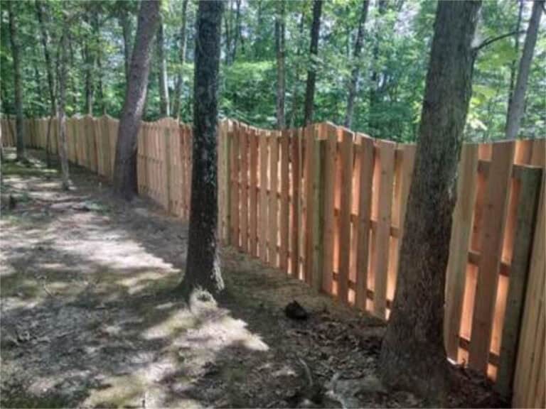
- Construction confidence: Surveys are appropriate for fences, additions, and site improvements near a line; relying on an app line can be risky.
- Accountability: Surveys are produced under a licensed professional with standards, oversight, and liability.
When Tax Maps and GIS Apps Are Helpful
Use them as a starting point—walking a property, early planning, identifying which parcel you’re looking at, and preparing smarter questions before hiring a surveyor.
When You Need a Survey
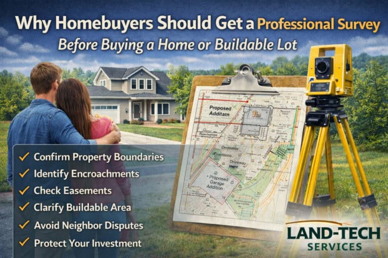
If money, permits, liability, or neighbor relationships are involved, it’s time for a professional survey—especially for:
- Fences, walls, driveways, pools, sheds, additions
- Boundary or encroachment disputes
- Real estate transactions requiring verified boundary/easement information
- Construction layout and site work near property lines
The Best Approach
Tax maps and GIS apps are great for convenience. A professional land survey is for certainty.
If you’re planning work near a property line and want confidence in what you own, Land-Tech Services can help with boundary, ALTA/NSPS, and topographic surveying to support your project from the ground up.