
An Elevation Certificate is one of the most important—and most misunderstood—documents in floodplain management and flood insurance. While it is often requested by lenders or insurers, an Elevation Certificate is not a generic form and not an estimate. It is a technical document that must be completed using measured elevations and professional judgment.
At the center of every Elevation Certificate is a standardized Federal Emergency Management Agency (FEMA) form, which ensures that flood data is reported consistently across the country. However, the form itself is only as accurate as the field work and interpretation behind it.
What Is an Elevation Certificate?
An Elevation Certificate is a survey-based document that records the vertical relationship between a structure and the Base Flood Elevation (BFE) shown on FEMA Flood Insurance Rate Maps (FIRMs).
It documents:
- Finished floor elevations
- Lowest adjacent grade
- Lowest enclosed area
- Lowest machinery and equipment servicing the building
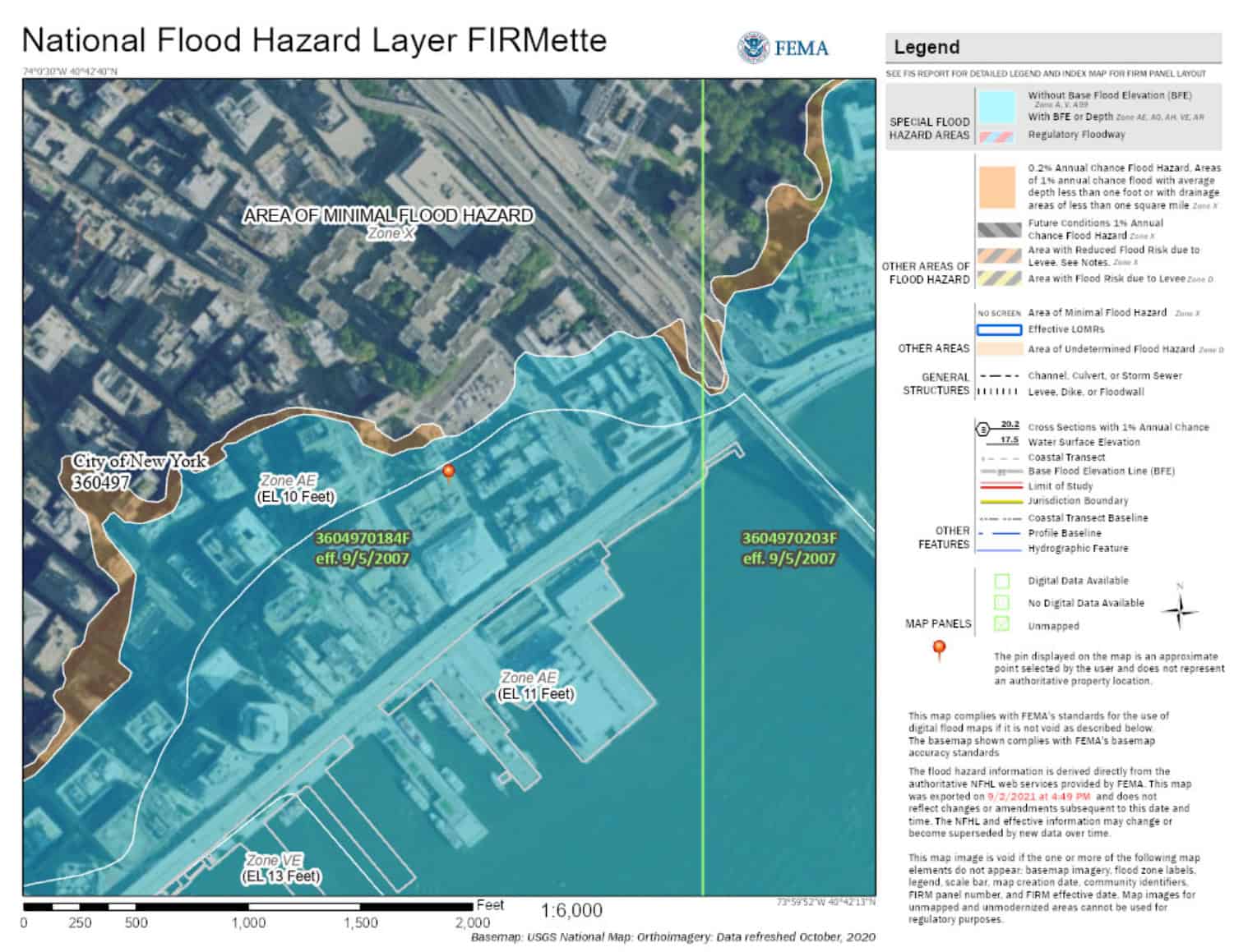
- Flood zone and map panel information
- BFE and datum used (NAVD 88, NGVD 29, etc.)
This information is used by:
- Flood insurance carriers to calculate premiums
- Municipal floodplain administrators to confirm compliance
- Property owners seeking to reduce insurance costs
- FEMA when reviewing map amendments or revisions
The FEMA Elevation Certificate Form
The Elevation Certificate must be completed on FEMA’s official Elevation Certificate form. This standardized form ensures:
- Uniform data collection nationwide
- Consistency between surveyors, engineers, insurers, and regulators
- Legal defensibility for insurance rating and enforcement
The form includes:
- Section A – Property and structure identification
- Section B – Flood insurance rate map information
- Section C – Building elevations (field-measured)
- Section D – Surveyor or engineer certification
- Section E – Building under construction (if applicable)
Only a licensed professional—typically a land surveyor or professional engineer, depending on state law—may certify the form.
What an Elevation Certificate Is Not
An Elevation Certificate is not:
- A flood guarantee
- A substitute for flood insurance
- A boundary survey
- A FEMA map amendment by itself
- A lender flood certification
It does not predict future flooding. It measures how a structure relates to a mapped flood elevation at the time of the survey.
Why Elevation Certificates Matter So Much
Small differences in elevation can have huge financial impacts.
Even a few inches above or below the Base Flood Elevation can:
- Change insurance premiums by thousands of dollars over time
- Determine whether flood insurance is required
- Affect permit approval for additions or renovations
- Support or defeat a Letter of Map Amendment (LOMA)
Because of this, the Elevation Certificate requires:
- Accurate vertical control
- Proper datum reconciliation
- Clear identification of lowest floors and enclosures
- Professional judgment—not automated mapping
Common Issues and Mistakes
Elevation Certificates are often delayed or rejected due to:
- Incorrect flood zone or map panel numbers
- Datum mismatches (NAVD 88 vs. NGVD 29)
- Misidentified lowest floor or enclosure
- Using assumed or construction elevations
- Improper certification or missing signatures
These errors can lead to:
- Insurance rating problems
- Permit denials
- Requests for resubmission
- Higher premiums than necessary
In Conclusion
An Elevation Certificate is a technical survey document, not a checkbox form.
The FEMA Elevation Certificate form provides the structure, but the accuracy depends entirely on the measurements, methodology, and professional judgment behind it.
If flood risk affects your property, insurance costs, or construction plans, a properly prepared Elevation Certificate can save significant time and money—and prevent serious compliance issues.
When precision matters, rely on a licensed professional who understands both the FEMA form and the real-world conditions it represents.