1-9 of 9 results
-
Why a Survey Must Result in a Map — The Law and Professional Standards in New Jersey
By Elijah Voigt • December 18, 2025When a licensed land surveyor performs a survey, the final product is not “a note,” “a measurement,” or… -
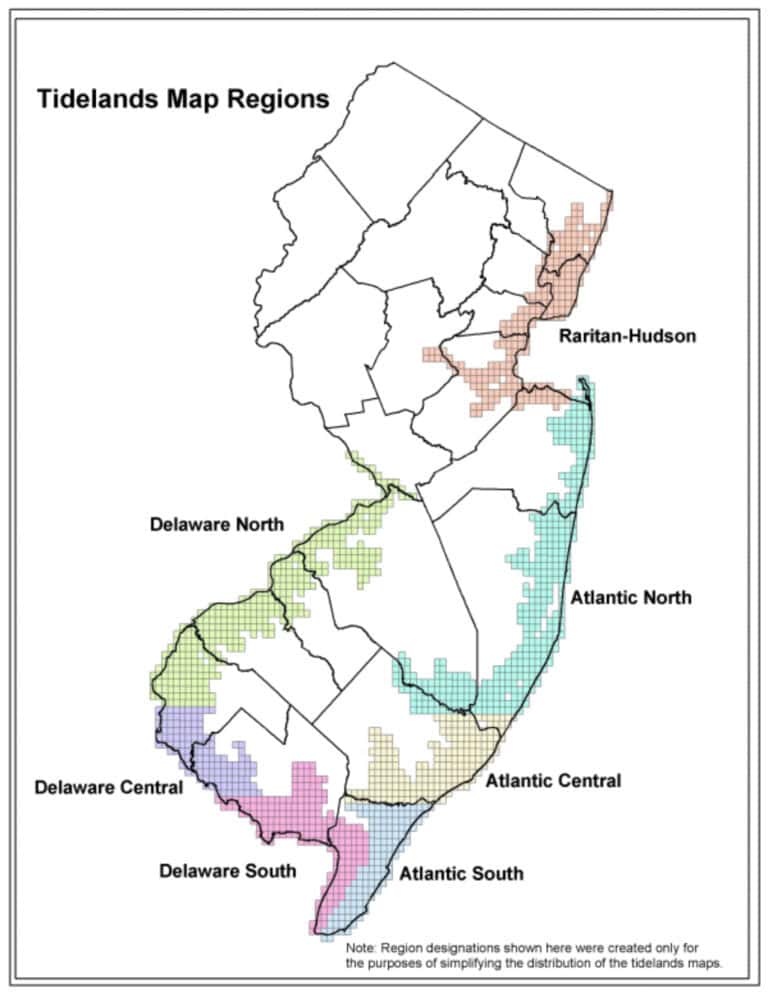
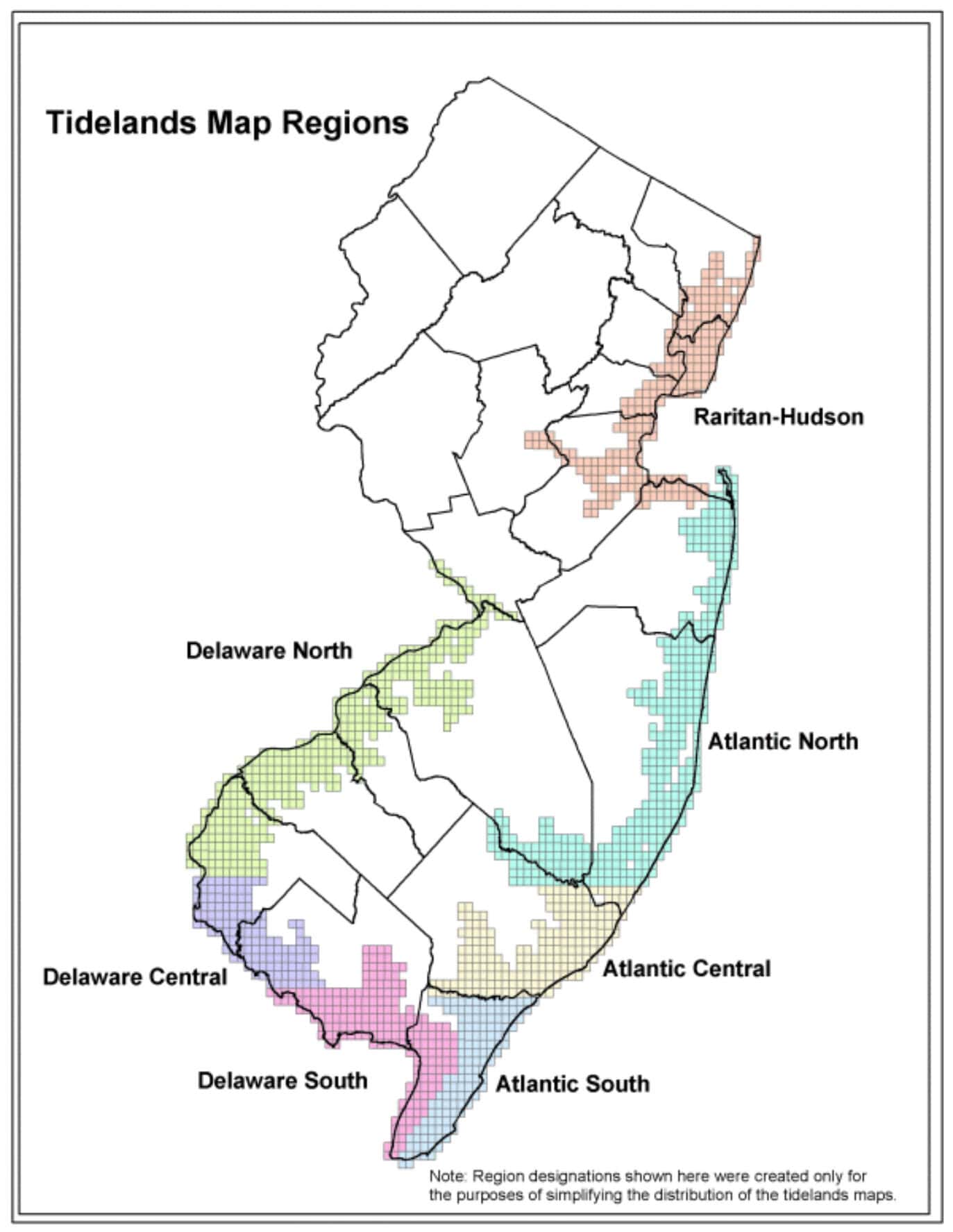
Tidelands Surveys in New Jersey — What They Are and Why They Matter
By Elijah Voigt • November 26, 2025Tidelands—also known as riparian lands—are one of the most misunderstood aspects of property ownership in New Jersey. Many… -
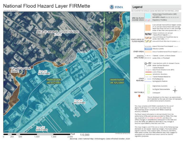
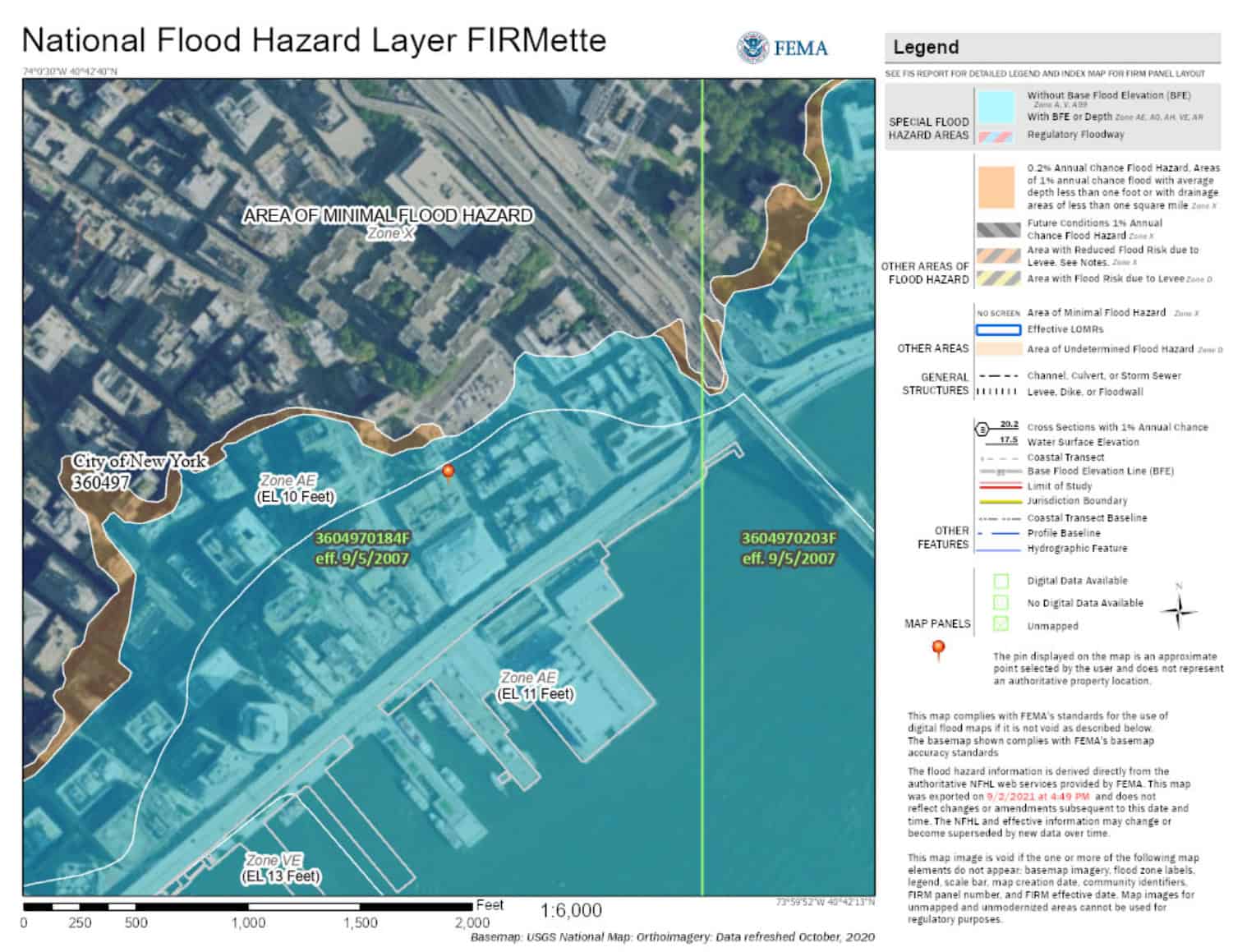
Elevation Certificates Explained — What the FEMA Form Really Means
By Elijah Voigt • September 26, 2025An Elevation Certificate is one of the most important—and most misunderstood—documents in floodplain management and flood insurance. While… -
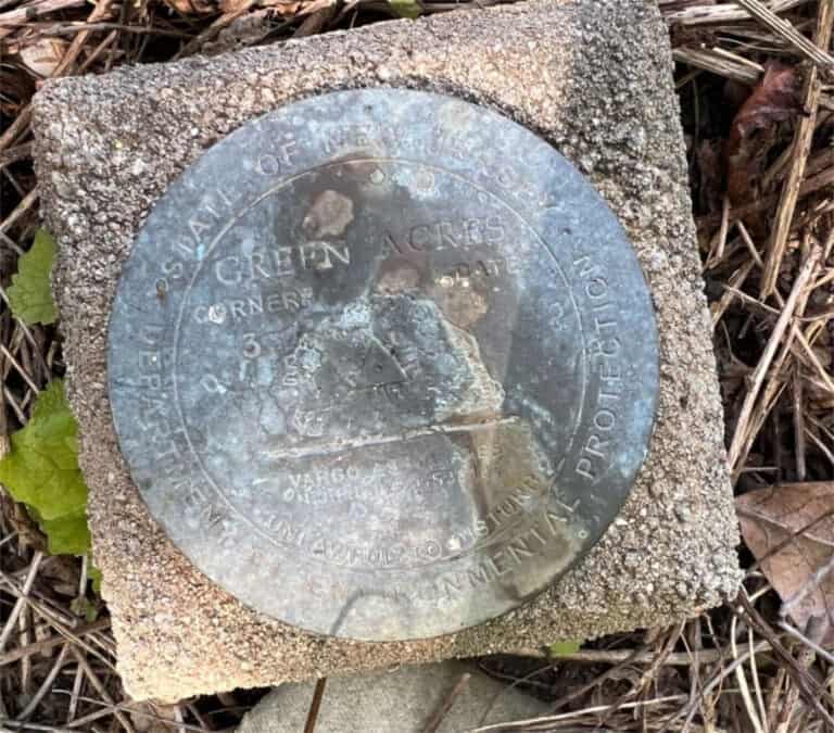
The Degrees of Survey—and Why the Intent of a Survey Matters
By Elijah Voigt • August 15, 2025Not all surveys are the same. One of the most common misunderstandings property owners have is assuming that… -
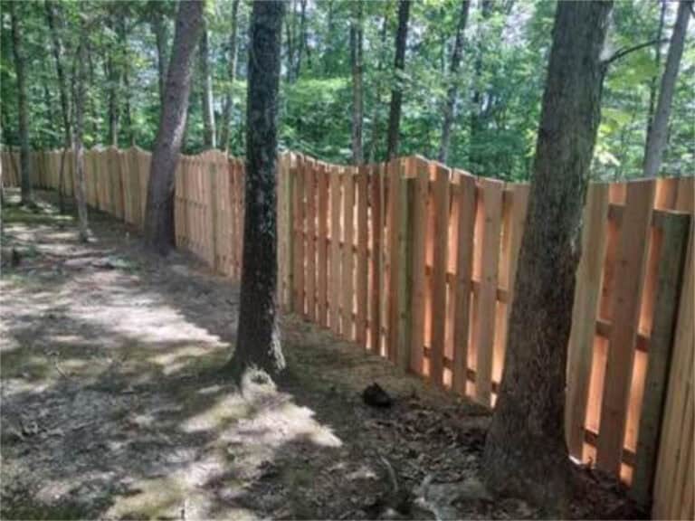
Fence vs. Property Line: What’s the difference?
By Elijah Voigt • July 2, 2025A common misconception in property ownership is thinking that your fence line and property line are the same… -
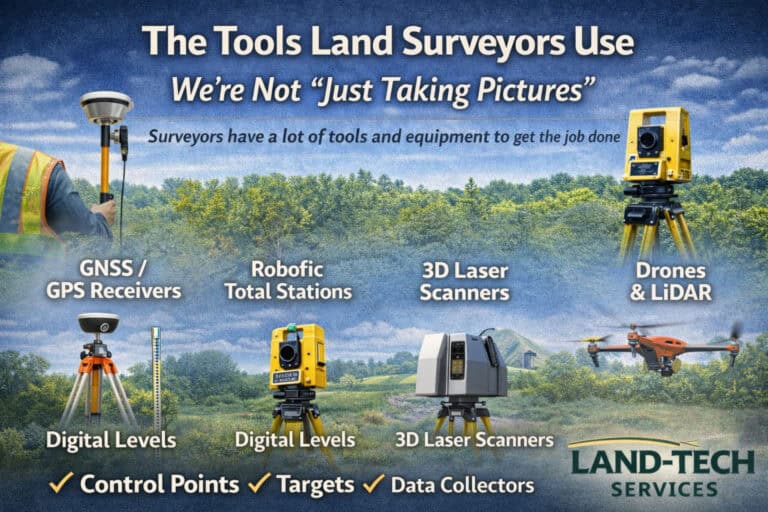
The Tools Land Surveyors Use (We’re Not “Just Taking Pictures”)
By Elijah Voigt • May 23, 2025It’s easy to see a tripod or a drone on a job site and assume land surveyors are… -
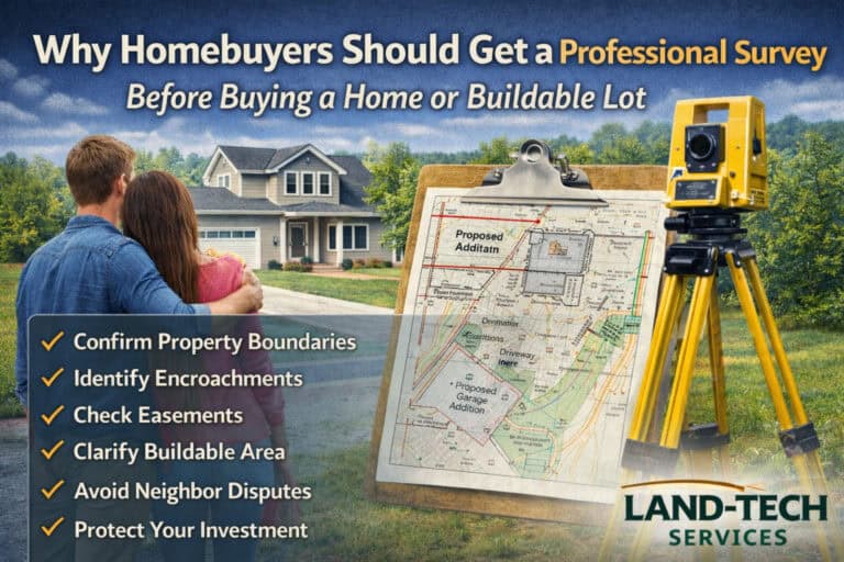
Why Homebuyers Should Get a Professional Survey Before Purchasing a Home or Buildable Lot
By Elijah Voigt • April 10, 2025Buying a home or development lot is one of the biggest financial decisions most people ever make. And… -
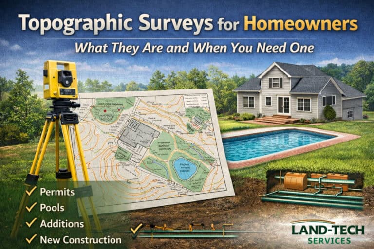
Topographic Surveys for Homeowners: What They Are and When You Need One
By Elijah Voigt • February 27, 2025If you’re planning a home addition, pool, new home, or septic system, you’ll often hear the same thing… -
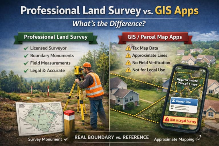
Professional Land Survey vs. Tax Maps and GIS Apps: What’s the Difference?
By Elijah Voigt • January 14, 2025Apps like LandGlide and onX are incredibly handy for getting a quick, high-level picture of a property—especially when…

Land-Tech Services is based in New Jersey and licensed to provide professional land surveying services in New Jersey, Pennsylvania, Virginia and Florida.
NJ C.O.A. #24GA28265100
Licensed in NJ, PA, VA, FL & DE
Licensed in NJ, PA, VA, FL & DE