
Land-Tech Services provides precise boundary and topographic surveying to support property ownership, design, permitting, and construction. From establishing property lines and documenting easements to mapping ground features and site improvements, our surveys deliver clear, defensible information you can rely on—whether you’re planning a new project, resolving a boundary question, or preparing for a real estate transaction.
Our Boundary & Topographic Surveying services include:
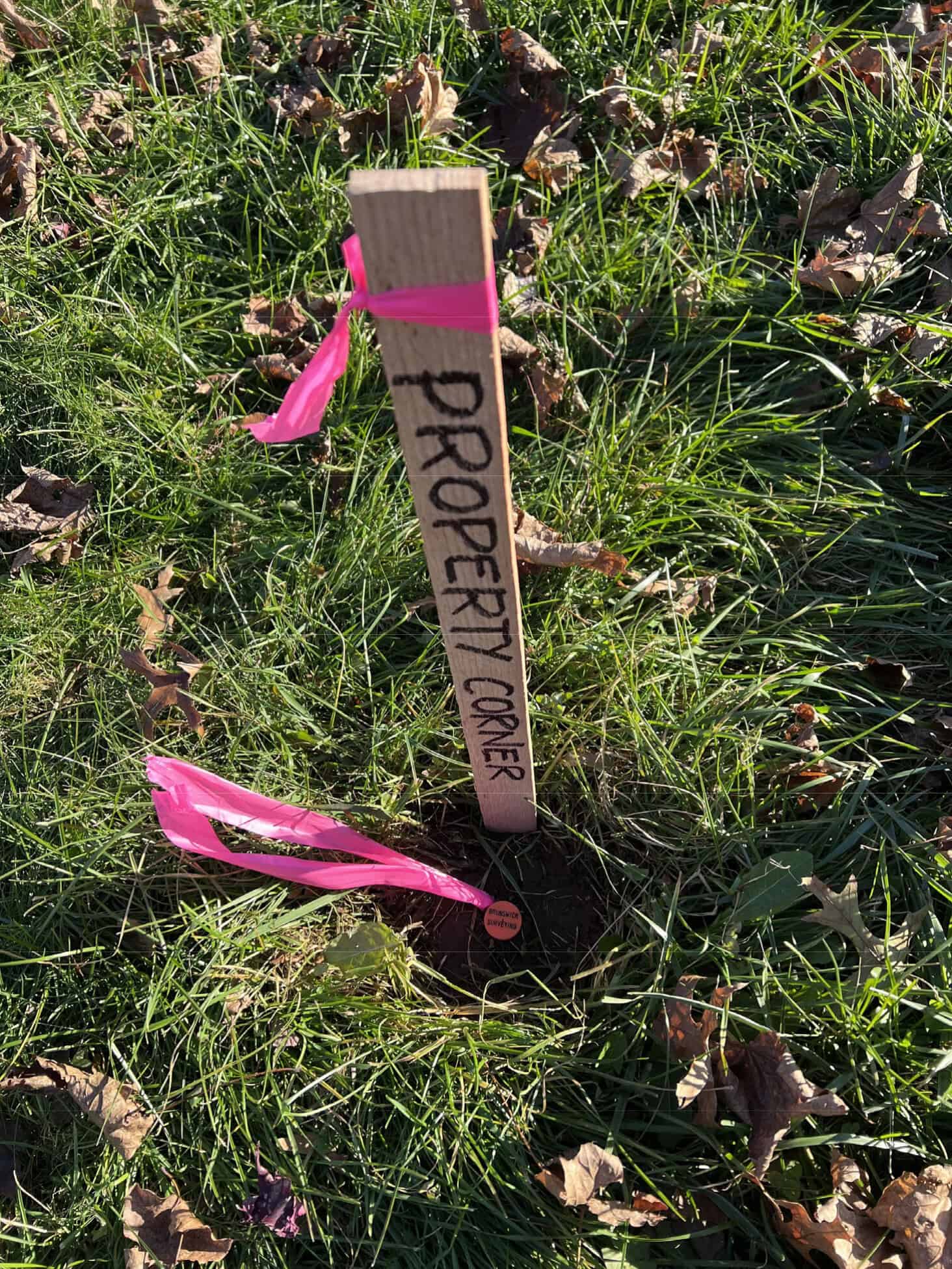
Boundary Surveys – Locate and retrace property lines, corners, and recorded rights-of-way.
Topographic Surveys – Map ground elevations, surface features, and improvements for engineering and site design.
ALTA/NSPS Surveys – Comprehensive surveys tailored for commercial real estate and lender/title requirements.
Existing Conditions Surveys – Document current site conditions for planning, renovations, and due diligence.
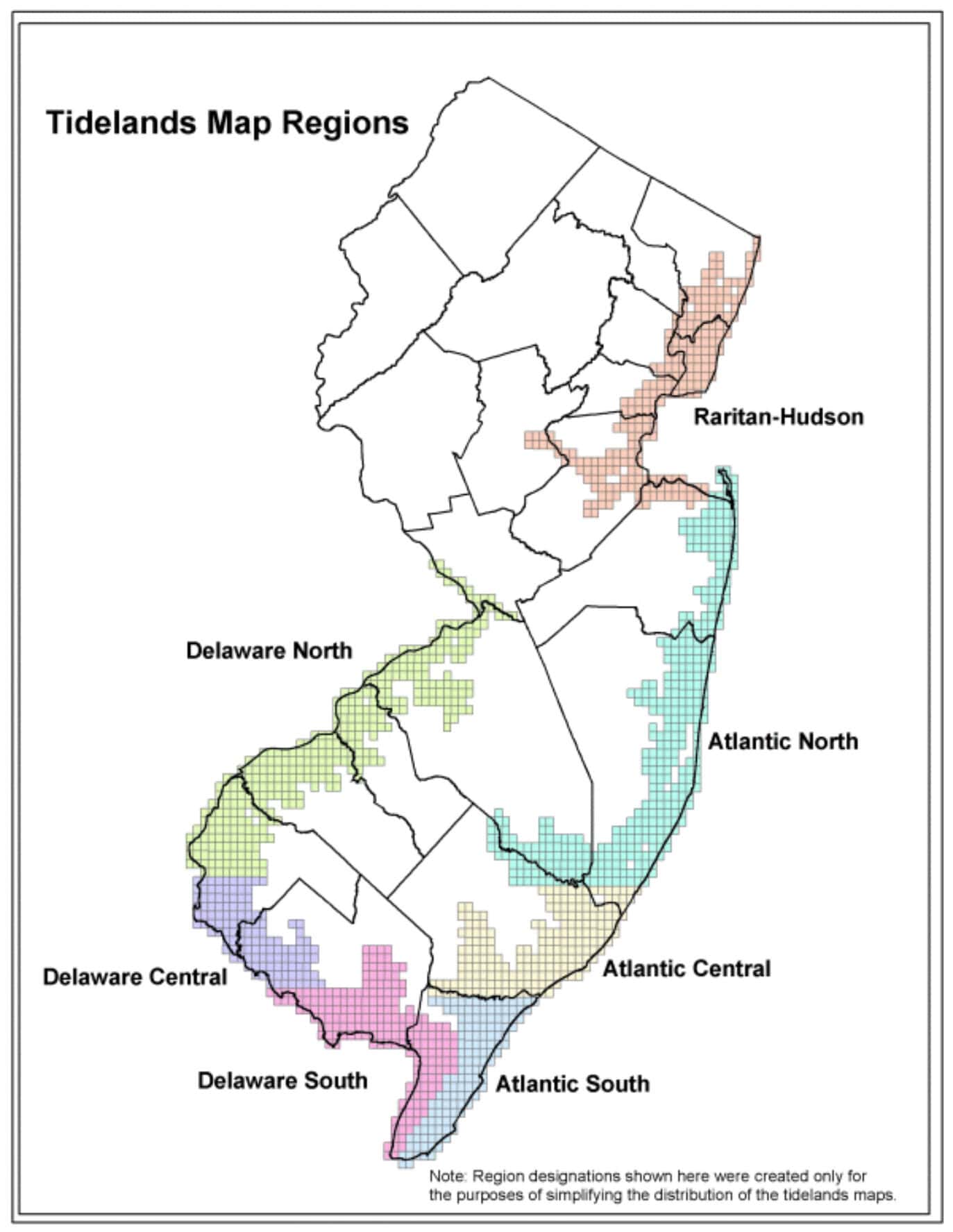
Tideland Surveys – Define waterfront and tideland boundaries where coastal considerations apply.
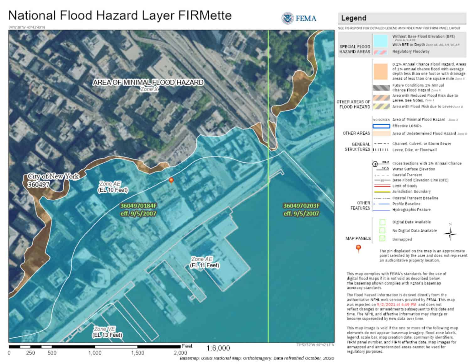
Elevation Certificates – Provide certified elevation documentation for flood compliance and insurance needs.
Hydrographic & Shoreline Mapping – Map shoreline features and nearshore bathymetry to support coastal and marine projects.