We focus on accuracy, efficiency, and clear communication to deliver survey and geospatial data our clients can rely on to make informed decisions and keep projects moving forward.
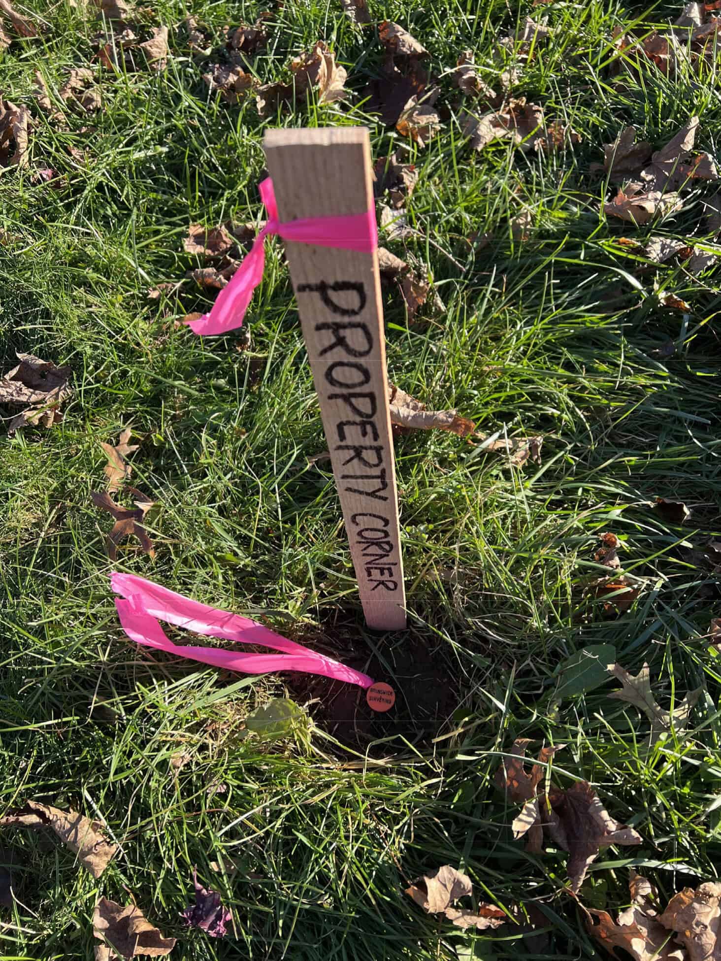
Boundary / Topographic Surveying
Construction Surveying & Layout
Drone (UAV) Mapping
Laser Scanning and Reality Capture
Dimensional Control Surveying
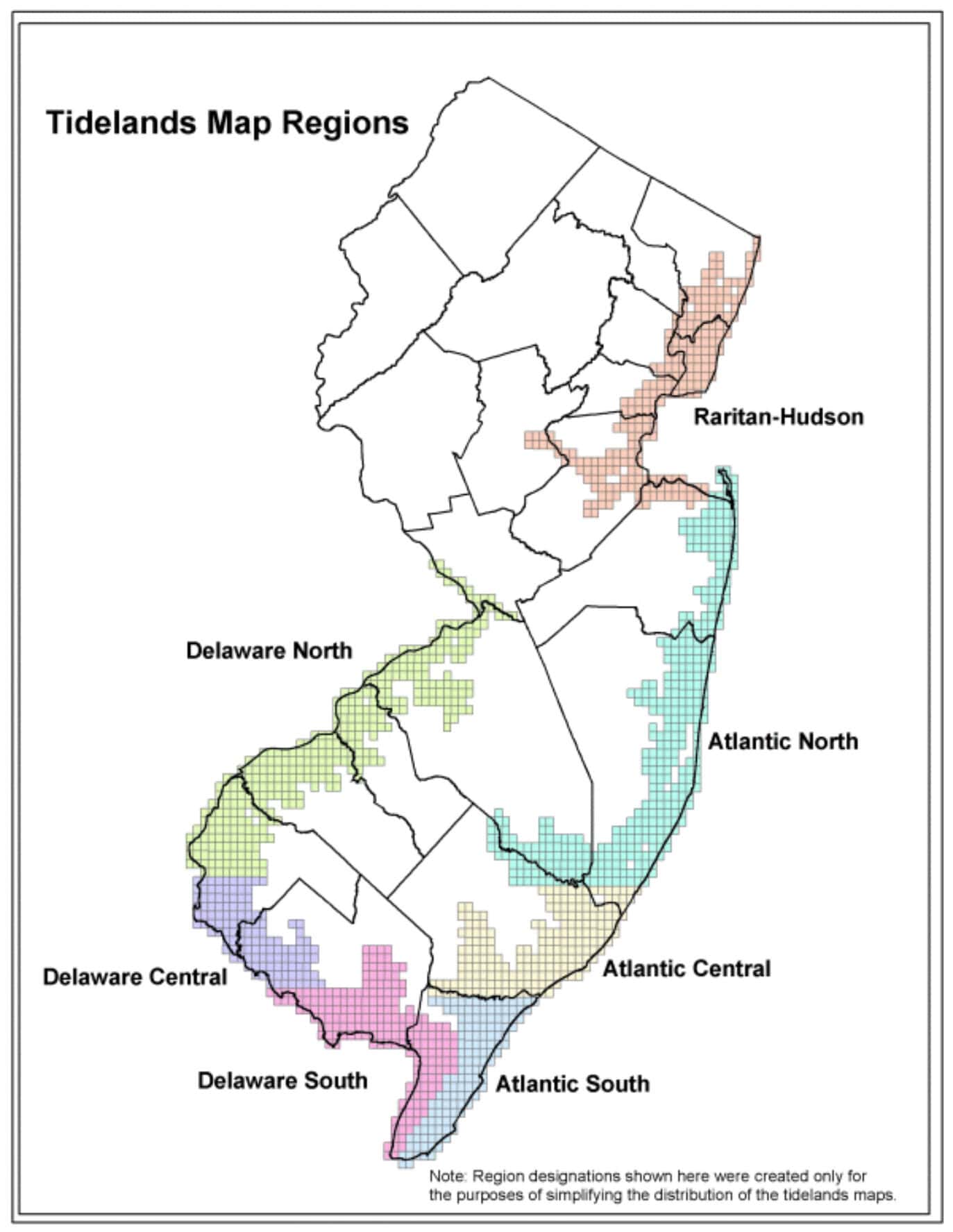
Land-Tech Services is based in New Jersey and licensed to provide professional land surveying services in New Jersey, Pennsylvania, Virginia and Florida.
NJ C.O.A. #24GA28265100 Licensed in NJ, PA, VA, FL & DE