
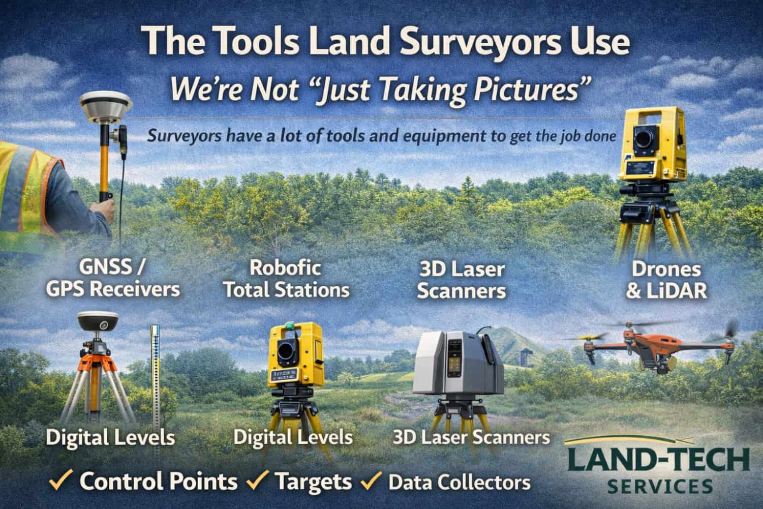
It’s easy to see a tripod or a drone on a job site and assume land surveyors are “just taking pictures.” In reality, surveying is precise measurement and documentation—and we use a wide range of specialized tools to capture accurate positions, elevations, and site details.
Here’s a quick look at the equipment that helps surveyors get the job done.
Survey-Grade Positioning and Measurement Tools
GNSS / GPS Receivers
These aren’t phone GPS. Survey-grade GNSS equipment is used to establish accurate coordinates for:
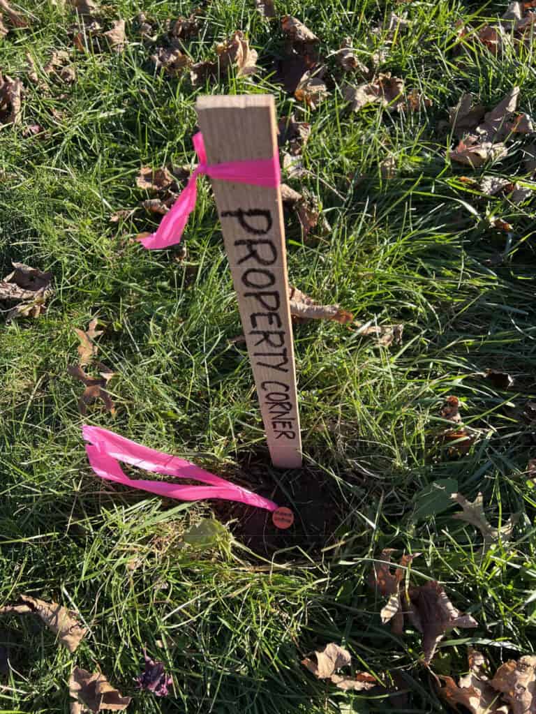
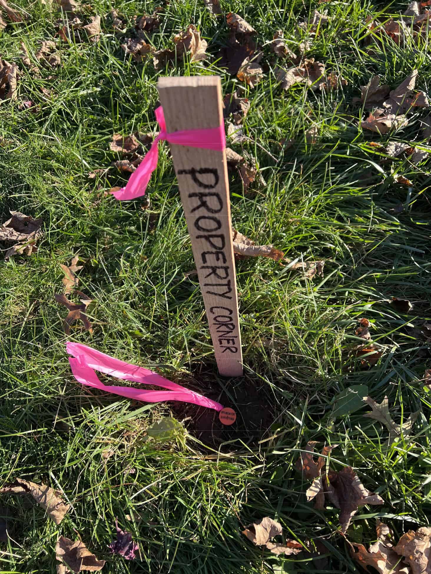
- Property corners and control points
- Topographic mapping points
- Site features and layout reference
Robotic Total Stations
Total stations measure angles and distances with high precision. They’re commonly used to locate and layout:
- Building corners, walls, curbs, pavement edges
- Property evidence and monuments
- Construction layout points
Digital Levels
When elevation accuracy matters—especially for drainage, foundations, and grade-sensitive work—levels are used to collect reliable elevation data.
Reality Capture and Mapping Tools
3D Laser Scanners
Laser scanners capture dense 3D measurements of existing conditions for:
- As-builts and renovations
- Structures and complex sites
- Accurate 3D models and verification
Drones (Mapping and LiDAR)
Drones can support photogrammetry and LiDAR for larger sites, vegetation-heavy areas, or progress documentation—when tied into proper survey control.
The “Behind the Scenes” Gear That Makes It All Work
Survey work also relies on:
- Control points and targets that tie everything into a consistent coordinate system
- Data collectors and software that process measurements, build contours/surfaces, and produce clean deliverables
Bottom Line
Land surveying takes more than a camera. Surveyors bring multiple instruments and tools so the right method can be used for the site conditions, accuracy requirements, and deliverables—whether that’s a boundary, topographic survey, or construction layout.
If you’re planning a project and want measurements you can rely on, Land-Tech Services can help.