
When a licensed land surveyor performs a survey, the final product is not “a note,” “a measurement,” or “a verbal answer.” It must be a documented map (plan or plat). In New Jersey, both statutes and administrative regulations define land surveying to include the preparation, documentation, and recording of maps, and they prescribe what must appear on those maps when surveys are used for conveyancing, subdivision, development, permitting, or boundary determination.
Below are the key legal foundations that make a map an essential part of a completed survey.
1. Land Surveying Is Defined to Include Maps
Under New Jersey law, the practice of land surveying expressly includes the preparation and perpetuation of maps, plats, field notes, and records that represent surveys of property:
“Land surveying… includes the act of measuring and locating distances, directions, elevations… for the purpose of… establishing… boundary lines… and for the preparation and perpetuation of **maps, record plats, field notes, records and property descriptions… .”
— N.J.S.A. 45:8-28(e) (definitions of land surveying)
This statutory definition makes clear that mapping is not optional — it is part of what it means to practice land surveying in New Jersey.
2. Boundary and Subdivision Maps Must Meet Legal Requirements
When surveys are prepared to document land for boundary determination, subdivision, conveyancing, or municipal filing, the law requires detailed information on the map itself:
- The map must be endorsed with a licensed land surveyor’s certificate, affirming that it complies with professional minimum detail requirements.
- It must show all boundary lines, monumentation (found and set), block and lot numbers, natural and artificial watercourses, and coordinate references.
- The map must show the date of the survey and must be prepared and sealed according to board requirements.
— N.J.S.A. 46:26B-2 (minimum survey map contents, certificate requirements)
This statute outlines what belongs on the map itself — not just in someone’s notes — and what professional certification must accompany it.
Similarly, maps that are submitted for approval in municipal land-use processes must include detailed boundary and topography information and be prepared under the supervision of a licensed surveyor.
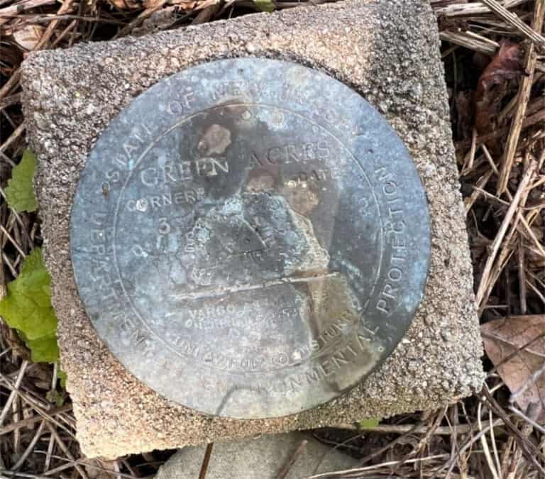
3. Monumentation Must Be Reflected on the Map
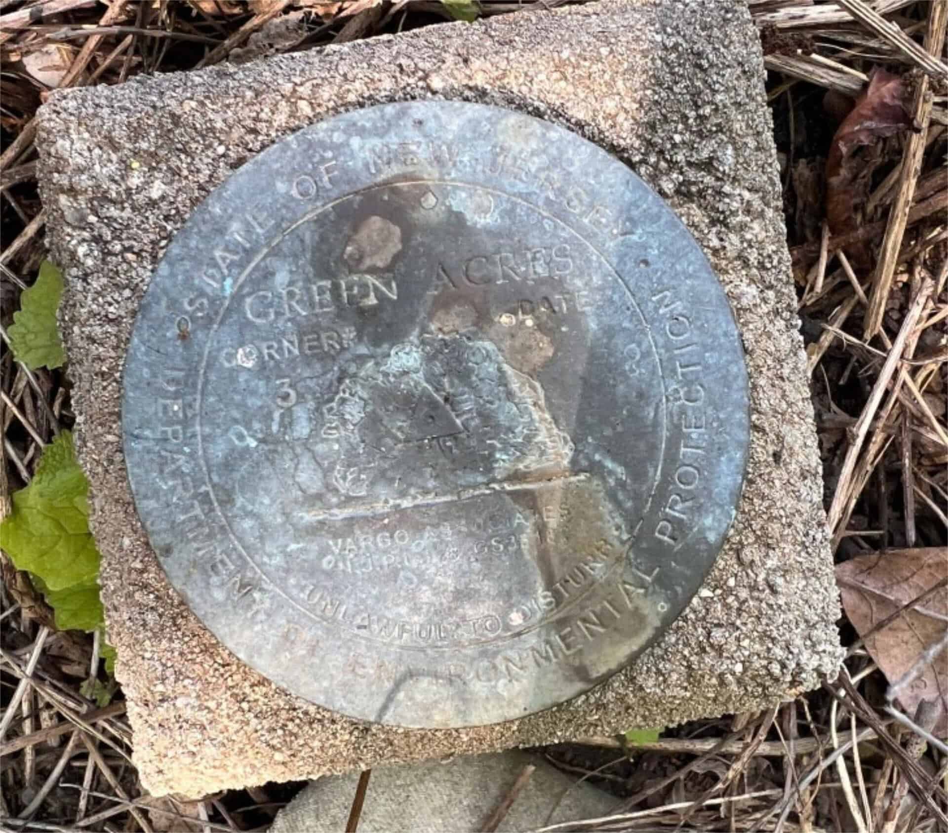
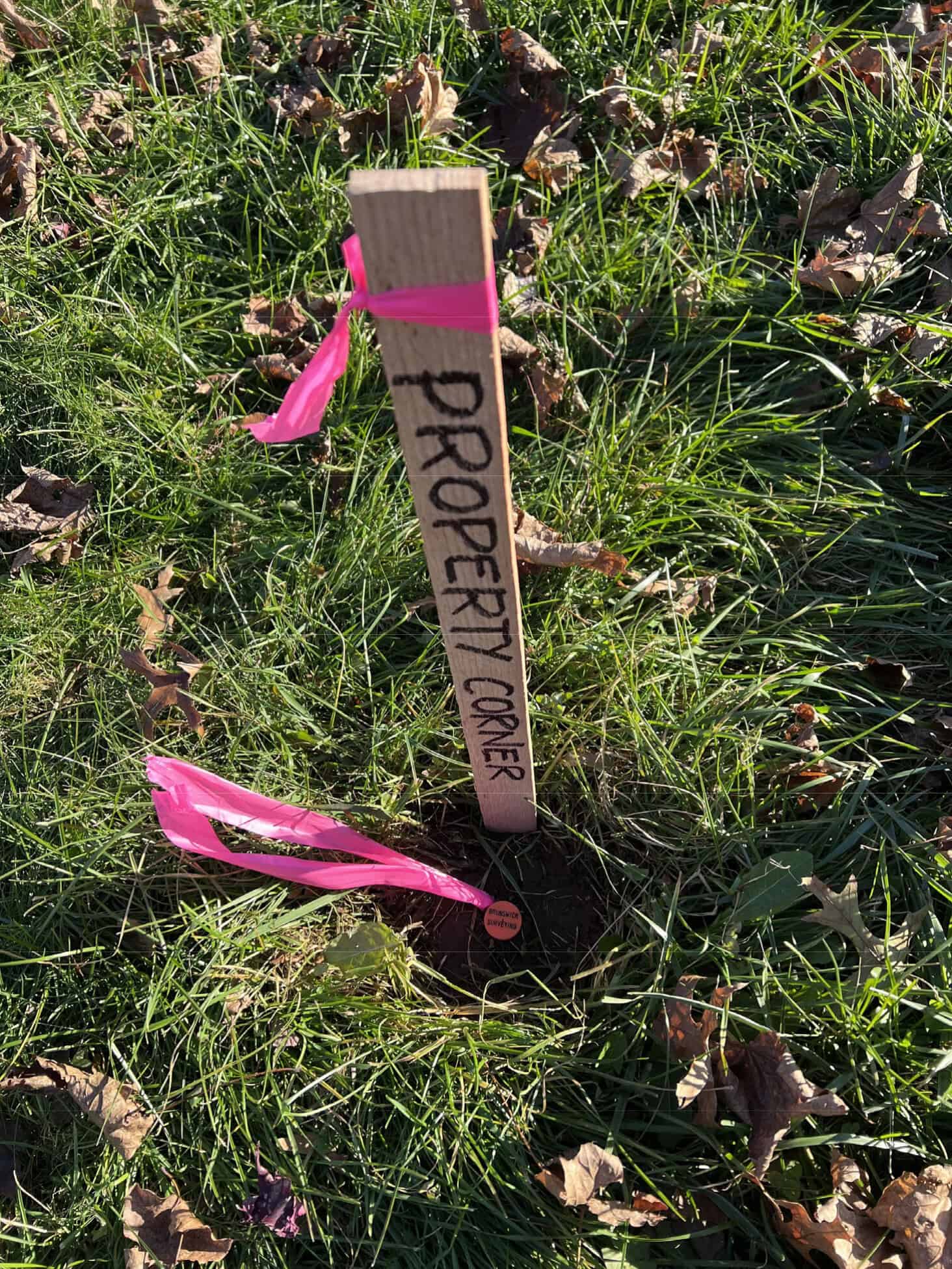
Another statute clarifies that when a property survey is performed, appropriate corner markers must be set by or under the supervision of a licensed land surveyor, and this action must be reflected on the survey map (plat) — including notation of any waivers if corners are not set:
“Whenever a written waiver to omit corner markers is obtained… the following notation shall be included on the plat or plan of survey…”
— N.J.S.A. 45:8-36.3(b) (corner markers and required plat notation)
This provision reinforces that the physical act of surveying corners and monuments must be documented on a map, and that professional waivers must also be recorded as part of the survey product.
4. Administrative Rules Require Plat Descriptions
New Jersey administrative rules governing professional land surveyors require that all boundary or corner markers delineating the property surveyed must be described on the plat of survey and shown with appropriate data:
“All boundary or corner markers… must be described on the plat of survey with data provided to show their relation to the property or corner…”
— N.J.A.C. 13:40-5.1 (survey plat marker description requirement)
This regulation makes clear that field findings — such as monuments and corner markers — do not stand alone unless they are translated onto a map or plat with proper descriptions.
5. Maps Are Required for Legal and Practical Reliance
The law makes a distinction between general measurement and legal mapping. While a survey may not be mandated by statute for every real estate transaction (and lenders often require surveys contractually), when a survey is performed, it must be documented on a map if it is to be used for legal purposes such as conveyancing or recordation.
Maps provide:
- A permanent, reviewable record of what was done
- A legal instrument that can be relied on by title companies, lenders, and courts
- Documentation of evidence, assumptions, and professional judgment
Without a map, a survey cannot fulfill the requirements set by law for records, monuments, certificates, and boundary determination.
In Plain Terms: The Map Is the Survey
Across New Jersey law and regulation:
- The practice of land surveying includes preparing and preserving maps and plats.
- Maps must contain certain required elements when used for legal purposes.
- Surveys must reflect monumentation and boundary evidence on the map.
- Statute and administrative code require licensed responsibility and certification on the face of the map.
In other words: If it affects rights, property lines, financing, or law, it must be shown on a map — not just discussed or measured.